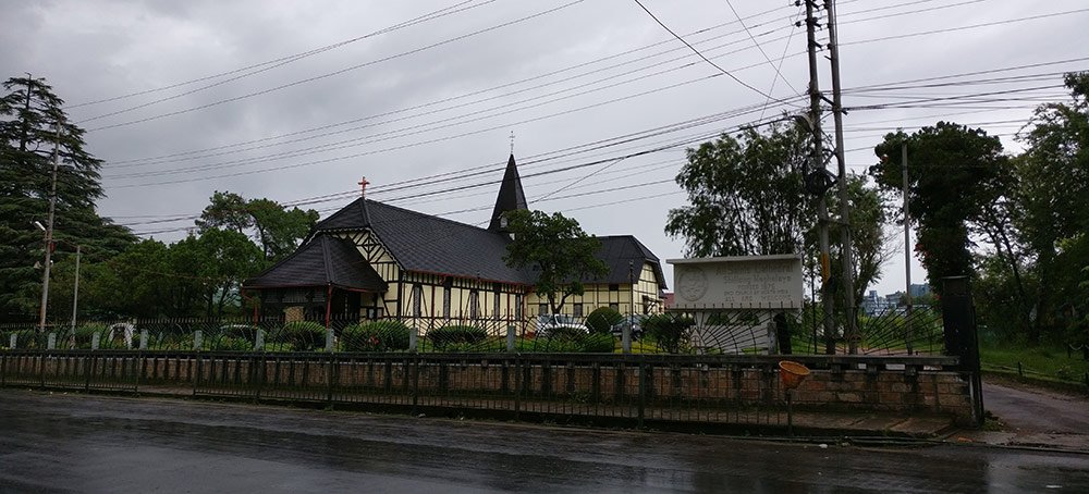
In Shillong, rain is a recurring feature all the year around and umbrellas a constant companion.
[Continued from: 150 and rocking: Shillong – a city amidst the clouds]
Shillong, located on the leeward side of the Shillong plateau falls in a rainshadow area, but irrespective of that geographical barrier rain is a recurring feature all the year around and umbrellas a constant companion.
With unpredictable weather, the morning rarely shows the day in this hill station on the Khasi Hills. It can start to pour without a warning and within minutes the sun could be back shining. But it is the weather of the city that Shillongites and visitors swear by.
It rains a lot in Shillong and the most of it pours down in the months of April to September. In the month of July, on an average, it rains on 29 days out of 31. The average annual rainfall is 3,385 mm (Delhi, in comparison, receives 972 mm of rain on an average).
However, the rain that Shillong receives is only a fraction of that Cherrapunjee does (11,777 mm). It was the rain and Jaintia Rebellion of 1860-63 that forced the British to shift their headquarters from Cherrapunjee to Shillong.
The summers are pleasant and the winters not so cold. The maximum temperature ever recorded in the city is 30.2°C and the minimum it ever reached was -3.3°C.
It doesn’t snow in Shillong and but on some winter mornings the city wakes up to a layer of white frost covering the corrugated roofs and the grass in the lawns.
Tourists flock to the Shillong View Point near the Shillong Peak to get a spectacular panoramic view of the city below. However, heightened security following the 2016 Pathankot attack have resulted in long queues of cars packed with tourists outside the gates of the Indian Air Force Station that is on the route to the peak. Shillong is also the headquarters of the Eastern Air Command.
From a hilltop at Air Force Station Laitkor Peak, a radar stands sentinel over the city, untiringly rotating to keep a vigil across hundred of kilometres. The international border with Bangladesh is only 80 kilometres to the south.
Nirad C Chaudhuri, whose wife Amiya Chaudhuri (nee Dhar) was born in Shillong, in his Autobiography of an Unknown Indian, recollected the view he got from the Shillong Peak in 1932:
I was on the top of Shillong Peak, sitting on a grassy mound at 6,400 feet. And this is what I saw:
There before and below me the road to Cherapoonji and, branching off from it, the road to Mawphlang. There was the Laidyngkot bridlepath. There was also the place which I thought would be Nongkhrem, famous for its Khasi dance, and the place further to the right where I placed Mawphlang, with the beautiful gorge and rapids of the Bogapani. Turning round, I could see the bare ridge of Lum Dingei, the green and grassy Bhoi country, the dome-headed Sopet Bneng in the middle distance, and farther away the blue hills of Nongkhlaw.
[To be continued. This is the second part of the series of Shillong Stories on Cutting the Chai.]


2 Comments
Shillong: Atop the abode of the clouds