
Interesting trivia on why the city of Shillong has been named so. Part four in the series of Shillong Stories on Cutting the Chai.
No visit to Shillong is complete without squeezing through the narrow bylanes of Bara Bazar. Now read on for a tale that even many Shillongites might not be aware of.
Shillong derives its name from the Khasi god U Lei Shyllong (Shillong god) believed to be residing in the peak overlooking the city. At 1,966 metres (6,449 feet) above the sea level, Shillong Peak, as the place is now referred to, is the highest point in Meghalaya. The city is a couple of hundred metres lower at 1,486 metres (4,908 feet).
Shillong could very well been named Yeodo (a British corruption of local name Iewduh, a local marketplace that still exists. Iewduh, or Bara Bazar as it is also known, happens to be the largest market in Meghalaya.) but at that time Tokyo, the capital of Japan, was known by a similar-sounding name Yeddo. Therefore a different name was sought and the town was christened Shillong.

An interesting sidenote is that only a couple of years after the Yeodo name was discarded in favour of Shillong, Yeddo in Japan was renamed as Tokyo.
The name Iewduh stands for the last market day of the Khasi eight-day week and its original location was different from the current day Bara Bazar and was around 2 kilometres north west at Nongkseh. A large number of the businesses at Iewduh is run by women, a reflection of the Khasi matrilineal society. The market isn’t managed by the state government or the municipality but by Hima Mylliem, one of the traditional Khasi states.

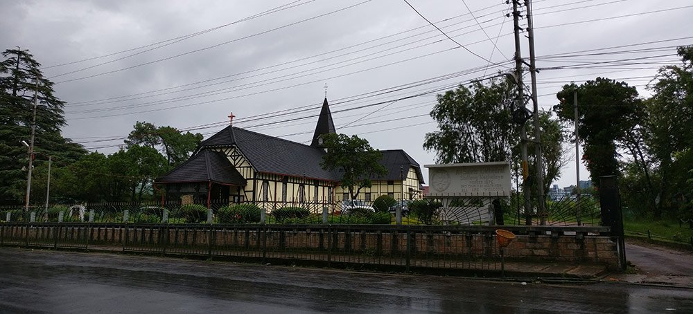
Laban is Shillong’s oldest locality and predates the establishment of the city. For a long time after the town got its name, locals continued to refer to Shillong as Laban.
Laban is the place where I spent the second half of my life in Shillong. In spite of its Khasi roots, the population of Laban was largely Bengali, till about late 1990s.

The first 12 years, I grew up in Lower Mawprem, at one edge of the city. A locality flanked by two beautiful waterfalls at its two corners – Beadon Falls and Bishop Falls. And the two main roads leading to each of the falls were named (you guessed it right) – Bishop Falls Road and Beadon Falls Road.
Beadon Falls is named after Sir Cecil Beadon (1816–1880), who was the lieutenant-governor of Bengal (1862–66) and Bishop Falls, which I assume derives its name from Bishop Reginald Heber (1783-1826), who served as the Bishop of Calcutta (this is only an assumption as I haven’t found any documents to substantiate this. Also Cecil Beadon’s grandfather was also a bishop, Bishop Richard Beadon. Can someone help me verify?).
As Mumbai has its East-West divisions of localities depending on which side of the railway track they fall in, Shillong’s localities are often divided into Upper and Lower, based on their relative altitude. Usually a stream marks the border.
While Upper Mawprem had a large Nepali population (along with its neighbouring localities of Barapather and Jhalupara. Jhalupara is home to what is arguably the best momo in Shillong), Lower Mawprem, had a mix of small-time Bengali merchants (running small businesses at Bara Bazar), lower and middle level central government employees (like my father), a sprinkling of Nepali, Bihari, Marwari, Punjabi and Sindhi population along with a sizeable number of Khasis, the indigenous tribals. But the demographics of the locality has completely changed since the 1990s.

Beadon Falls, which has a steeper fall than Bishop’s, generated electricity for Shillong for many decades. The Sonapani hydel project was set up in 1922 by Bidhan Chandra Roy under his company the Shillong Hydro Electric Supply Company Private Limited. The project supplied electricity to the hill capital till 1982 and was revived in 2010.
Roy went on to become the Chief Minister of West Bengal. The Meghalaya Energy Corporation Limited’s office opposite the Meghalaya Secretariat in Kacheri, till some years ago bore his name: Dr BC Roy House.
[This is the fourth part in the series of Shillong Stories on Cutting the Chai.]


One comment
Shillong would've been named Yeodo, but because of Tokyo